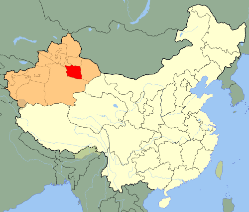
 Northwestern Region. CC 1.0
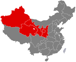
The province of Xinjiang makes up most of the Northwestern region of China. Xinjiang is a melting pot of variable terrain, consisting of deserts, mountains, and oases. Out of these, what takes up most of the land is the Tarim Basin, where the Taklamakan Desert is found (Understanding the Geography of China). We will also touch upon Turpan, which has long been a center of a fertile oasis.
Taklamakan Desert
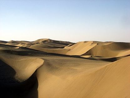 Taklamakan Desert. CC-BY-SA Taklamakan Desert. CC-BY-SA
|
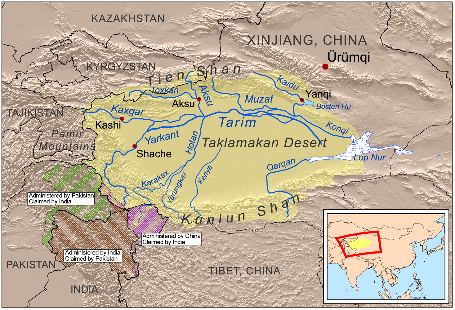
Map of Taklamakan. CC-BY-SA 2.0
|
The Basics
The Taklamakan Desert is China's largest desert, situated in the middle of the Tarim Basin. According to travelchinaguide, the Taklamakan is the second largest sand desert in the world, covering an area of over 33,700 square kilometers. This equals out to about 13,000 square miles. Sand dunes in this desert are usually over 100 meters high (over 109 yards) and some are even higher than 300 meters (about 328 yards). Because of the wind, the sand dunes are always moving forward and statistics suggests that each year they move about 150 meters (about 164 yards), which seriously threatens the existence of oasis and the survival of the local populace (Taklamakan Desert).
Natural Resources
Buried beneath this vast desert is an expanse of groundwater, oil, and oil gas. When oilfields were opened up, problems with transportation arose. With that being said, in the year 1995, a desert road was built, and another in 2007 (Understanding the Geography of China). One of them can be seen below, just left of the blue marker.
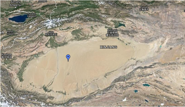
Location of Taklamakan Desert. Google maps.
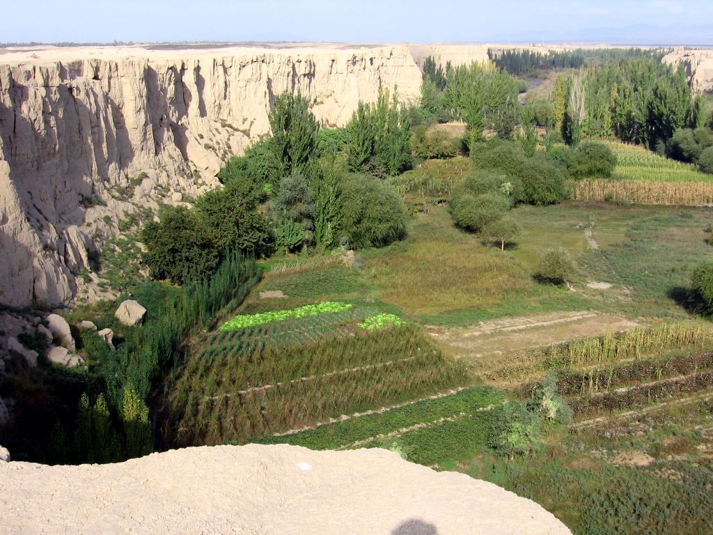
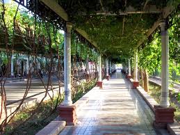
The Oasis of Turpan
Pictured above are images from the Turpan Oasis. All Public Domain.
Like mentioned before, Turpan has long been a fertile oasis. It has water provided by the karex canal system, with aquaducts running beneath the ground. Despite its extreme temperatures, Turpan is known for its grapes, watermelons, apricots, cantelopes, and raisins. It actually produces about 80% of all raisins produced in China (Turpan).
Works Cited
Taklamakan Desert (n.d.). In Wikipedia. Retrieved November 2, 2016, from https://en.wikipedia.org/wiki/Taklamakan_Desert
Turpan (n.d.). In Wikipedia. Retrieved November 26, 2016, from https://en.wikipedia.org/wiki/Turpan
Understanding the Geography of China (n.d.). In Asia Society: Center for Global Education. Retrieved November 21, 2016, from http://asiasociety.org/education/understanding-geography-china
